

SANTO DOMINGO- The National Geographic Institute "José Joaquín Hungría Morel" (IGN-JJHM), through its Geodesy Directorate, delivered to the Real Estate Registry (RI) the certification of Continuous Reference Stations (CORS) GNSS, installed in the period 2024-2025 under international standards of the Geodetic Reference System for the Americas (SIRGAS – IGS – NGS – EarthScope).
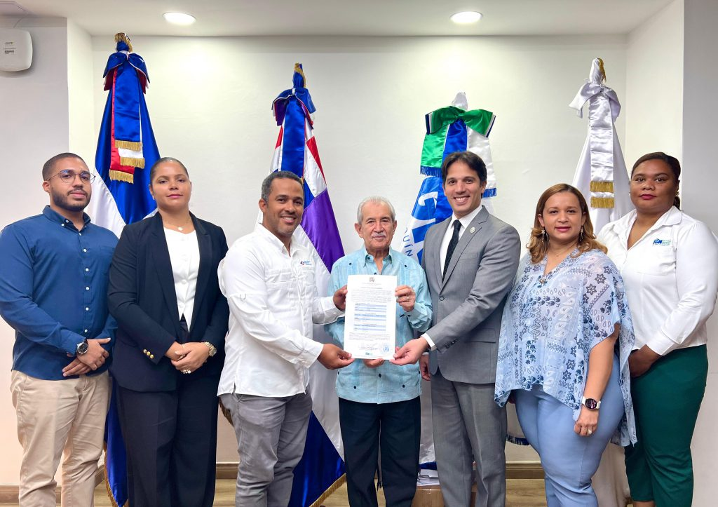
The handover ceremony took place in the RI meeting room, where the stations located in San Juan, Samaná, Peravia-Baní, Higüey and Santiago de los Caballeros were certified , after passing the inspection, technical verification and regulatory compliance validation processes carried out by the IGN-JJHM.
These stations, integrated into the National Geodetic Network, represent a strategic pillar for high-precision spatial referencing, allowing for its correct application in areas such as:
· Official cartography and georeferencing.
· Cadastral and registry surveys.
• Civil engineering and construction supervision.
• Territorial planning and management.
During the ceremony, the general director of the IGN-JJHM, Bolívar Troncoso Morales, and the national director of Cadastral Surveys of the RI, Ridomil Rojas Ferreyra, highlighted the importance of this inter-institutional cooperation, as well as the positive impact of the certification on the consolidation of the National Geodetic System.
The certification guarantees the operability, reliability and standardization of the national network of CORS GNSS stations, strengthening the country's geodetic infrastructure in accordance with national and international parameters, highlights a press release from the Real Estate Registry.